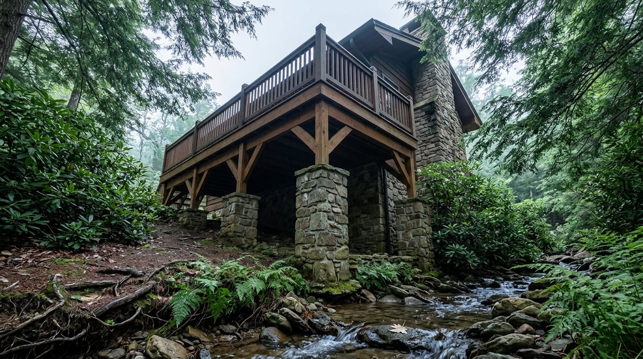
If you walk, fish, or paddle anywhere near the South Fork of the New River this fall, you may notice something new happening upstream from the Route 163 access park: crews driving wooden posts into the streambed of Beaver Creek and weaving branches, mud, and brush around them until the water backs up into shallow pools. It looks like the work of a very industrious beaver colony. It isn't. There's no beaver on site directing traffic. The people building these structures work for New River Conservancy, and they're mimicking an animal that mostly stopped doing this job in Ashe County a long time ago.
The project is called a beaver dam analogue, or BDA, and New River Conservancy has partnered with a group called the Open Spaces Resiliency Project to install a stretch of them on privately owned land along South Beaver Creek, a direct tributary that feeds into the South Fork just upstream of the New River Access Park the same organization built two years ago. That detail matters more than it sounds. The creek you can't walk up to and watch is the same water that eventually reaches the boat launch you already use.
What's Actually Going Into the Water
A BDA is a low-tech, hand-built structure designed to do what a real beaver dam does without waiting for beavers to show up and do it. The construction is simple by design:
- Wooden posts hammered directly into the streambed
- Branches, mud, and local brush woven between the posts to slow the current
- Shallow pools that form behind each structure, trapping sediment before it moves downstream
- A gradual rise in the water table on either side of the creek, rewetting the floodplain that erosion has been draining for years
None of it is permanent in the way a concrete culvert or a retaining wall is permanent. That's part of the point. These are temporary, inexpensive structures meant to jump-start a natural process, not replace it. Restoration groups across the country have been leaning on this technique more heavily in recent years because it does the work of a full engineered wetland restoration at a fraction of the cost and disruption.
Why Land You'll Never Set Foot On Still Reaches Your Boat Launch
Here's the part that's easy to miss if you only think about Beaver Creek as a name on a map. Erosion along this stretch has been dumping sediment into the creek, and sediment is the single largest threat to water quality anywhere in the New River watershed. It doesn't stay put. It travels downstream, into Beaver Creek proper, and eventually into the South Fork, past the exact access point where you might put in a kayak or cast a line on a Saturday morning.
Steve Bevington, New River Conservancy's Conservation Program Manager, put it plainly when the project was announced:
"Floodplains are an essential and rich feature of the New River Watershed. BDAs are an inexpensive and effective method to both restore natural resources of South Fork New tributaries and enhance the ability of existing floodplains to mitigate and limit the impacts of future floods."
The takeaway for anyone who lives near this water isn't that a construction crew is doing interesting environmental work somewhere out of sight. It's that the clarity of the water at your favorite access point, and how that floodplain handles the next heavy rain, is being shaped right now on a piece of private property most residents will never visit.
The Organization Betting on Sticks and Mud
New River Conservancy isn't a new name showing up with a novel idea and disappearing after one news cycle. The nonprofit has been working the New River watershed across North Carolina, Virginia, and West Virginia since 1976, which makes this year its fiftieth in operation. Over that half-century it has built a track record that gives this particular project some weight behind it.
| Milestone | Detail |
|---|---|
| Founded | 1976 |
| Land protected | Nearly 10,000 acres |
| River and shoreline protected | More than 60 miles |
| Added to New River State Park | Nearly 1,700 acres |
The Open Spaces Resiliency Project, the partner organization on this particular effort, operates under the fiscal sponsorship of the Southern Conservation Partnership and focuses specifically on ecological resiliency and habitat restoration. Pairing a fifty-year local land trust with a resiliency-focused partner isn't a random collaboration. It's the difference between a group that knows this specific watershed's history and a group that specializes in exactly this kind of restoration technique.
What Actually Changes for People Who Live Here
The site itself sits on private land, so this isn't a new trailhead or an overlook you can drive to this weekend. But the release announcing the partnership specifically noted that the work is designed to create opportunities for community members to take part in hands-on conservation work over the two years the project is expected to run. If you've ever wanted to help build something like this with your own hands rather than just read about it, that door appears to be opening, even if the timeline and sign-up details haven't been published yet.
In the meantime, the more useful thing to watch is the water itself. The New River Access Park on Route 163 has been open for two years now. If this upstream restoration does what it's designed to do, the difference should eventually show up downstream in less sediment and steadier flow at the exact spot you already use. That's a strange kind of local news story. Nothing changes about where you can walk this week, but something changes about what's happening to the water you already trust.
Ashe County has never had a shortage of scenic drives or postcard overlooks. What it has less of is visible proof that the systems keeping this place healthy are actively being maintained, one hand-built structure at a time, by people who've been doing this work since before most of us were born. That's worth knowing next time you're standing at the Route 163 launch wondering why the water looks the way it does.
If you're the kind of person who pays attention to details like this, chances are you also care about the land underneath your own feet, whether that's a home in town or acreage further out along one of these creeks. That's the part of Ashe County I spend my days in. If you ever want to talk through what's happening with property near the New River corridor, or you're weighing a move to a piece of land with its own stretch of water running through it, I'm happy to walk through it with you.
Chris Barr has spent his career working this exact ground, from West Jefferson town lots to the acreage tracts that back up to creeks like this one. Schedule a Free Consultation & Home Valuation whenever you're ready to talk specifics.